Spring 2022.
For some time now we have wanted to create 3D maps of the mines we have studied and explored.
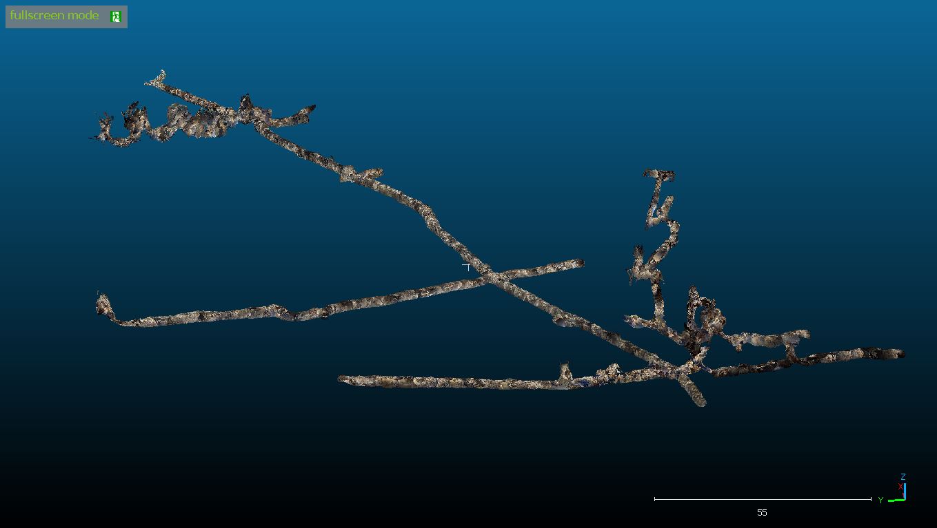
The advantage of a three-dimensional map is that it allows you to see how a mine is structured down to its smallest details.
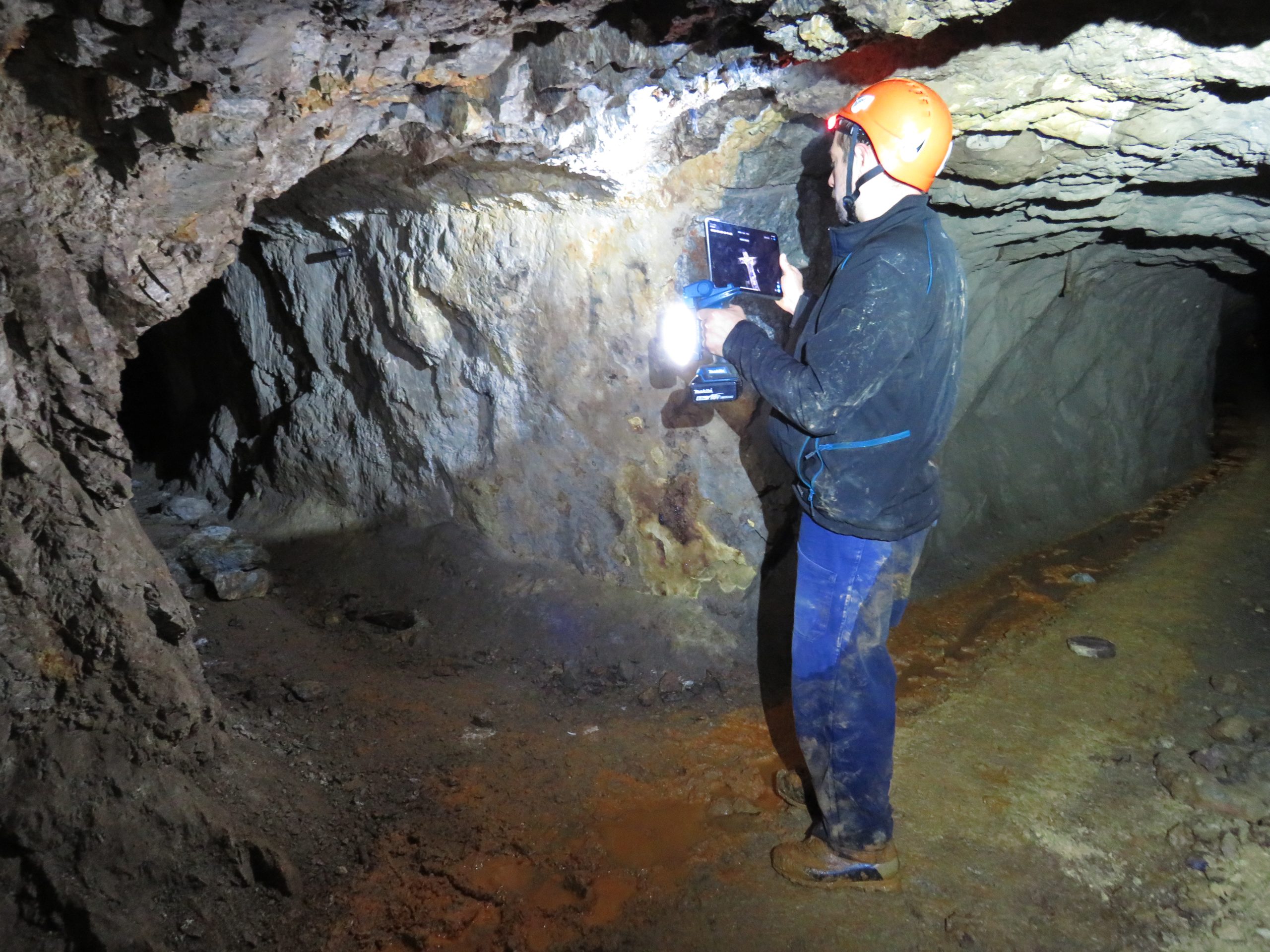
Usually in a common map, details such as excavations on the veins, shape of the tunnels, obstacles on the walkway and much more, escape. The use of a Lidar (acronym for Laser Imaging Detection and Ranging) allows instead to scan and memorize every more elusive detail, and memorize it in the form of a point cloud.
In fact, the instrument emits tens of thousands of laser pulses per second, and the distance and position reading with respect to the instrument is recorded for each one.
This allows, at the end of the work, to have a real virtual structure, identical in all respects to the mine traveled during the mapping.
For about a month we have been in contact with Federico Manoni ( federicomanoni.it ), a local boy, a professional photographer and also an expert user of Lidar equipment.
Having had the opportunity to view some of his works, I was immediately struck by the quality of the same.
Therefore, a collaboration is welcome, which will surely lead to the creation of something unique.
Just as it was for other past collaborations, first of all it was necessary to define what was the purpose of the collaboration, and then proceed to develop the timeline to make everything concrete.
In doing so, the result has always been excellent on both fronts and we have always been able to achieve great goals.
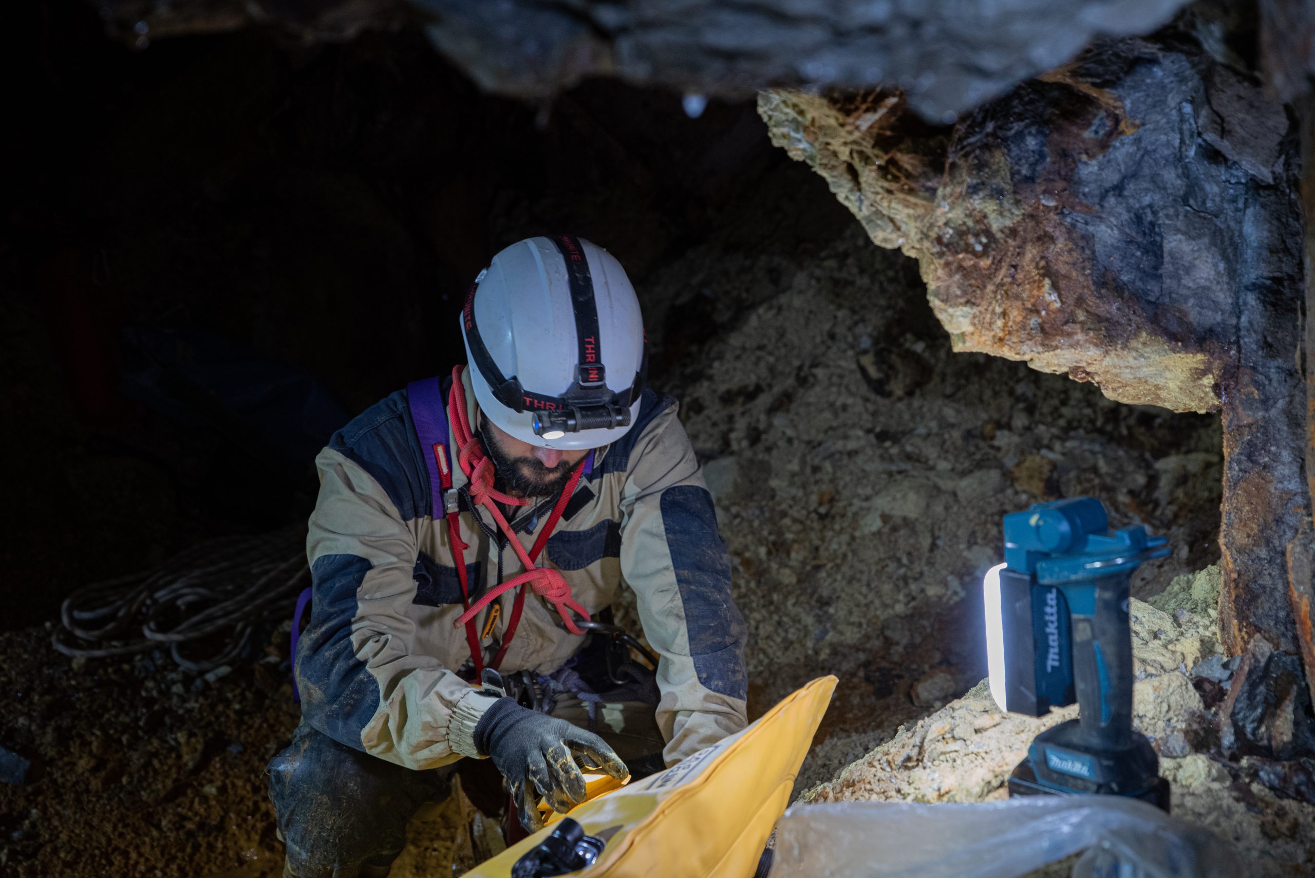
We spend about a month organizing everything that is needed to get started.
We have to get a powerful light capable of illuminating at full power for several hours, while Federico has to carry out tests in view of the underground operations.
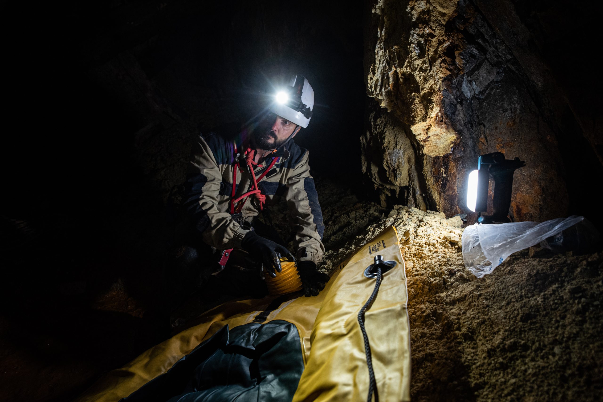
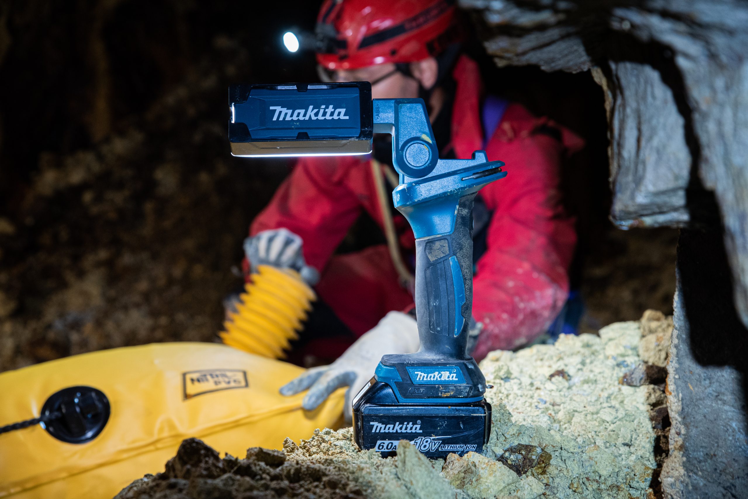
As for us, our sponsor Makita comes to our aid, providing us with a spotlight capable of delivering 300 lumens for about 22 hours and battery-heated jackets that are really comfortable during the slow progression in the dark underground environments.
Of course, the preparation doesn’t end there.
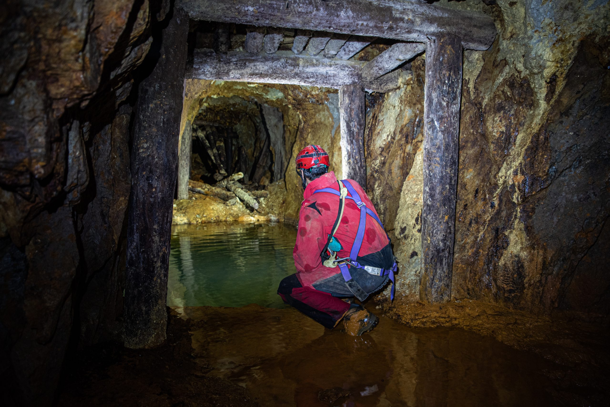
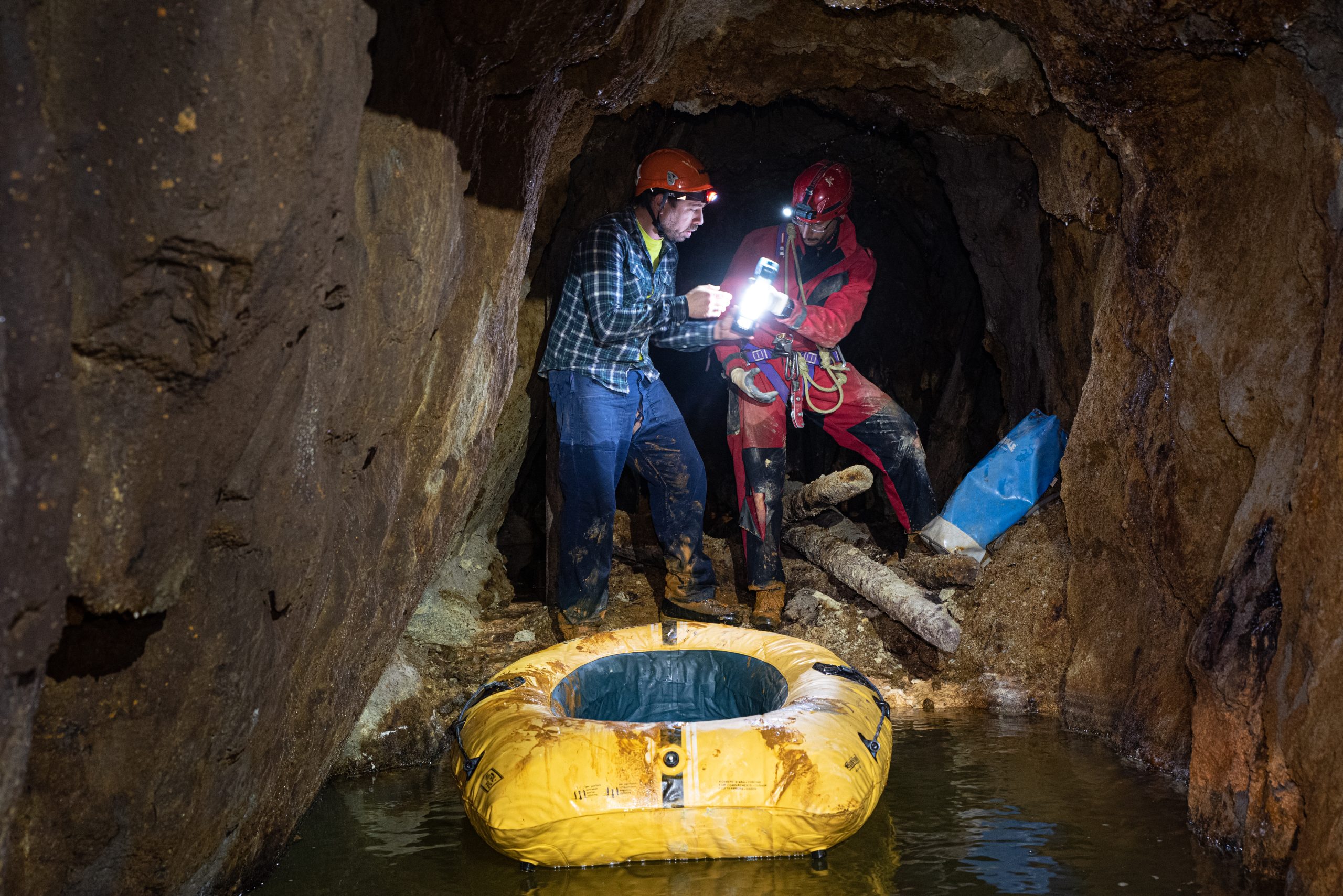
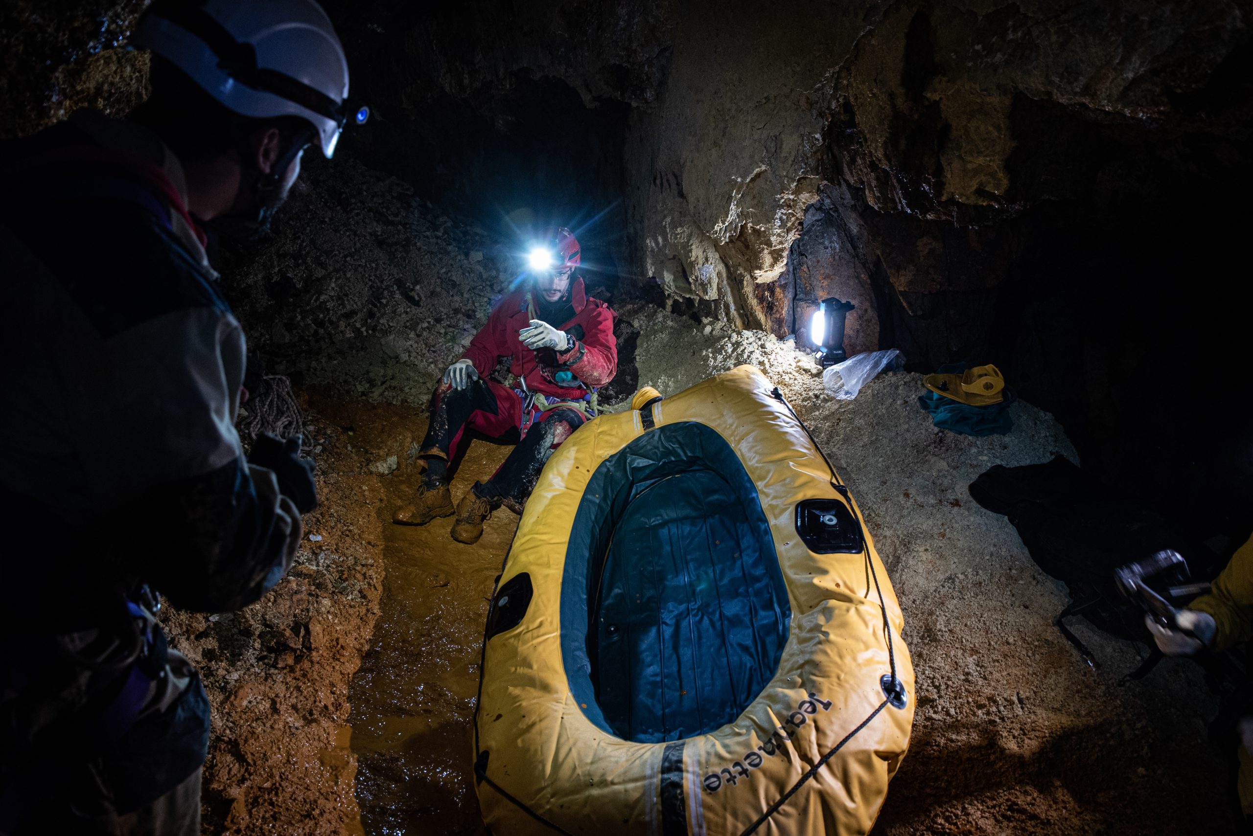
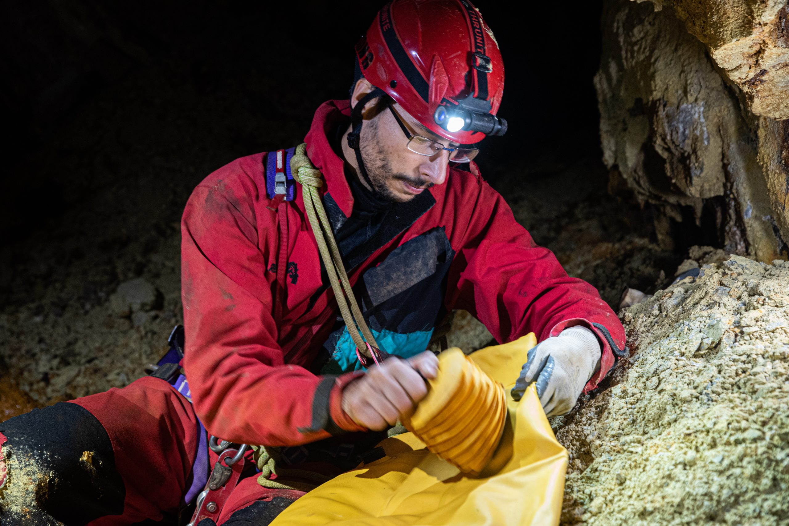
We will need a dinghy to cross a flooded shaft in the mine and also rope and a drill to make anchors.
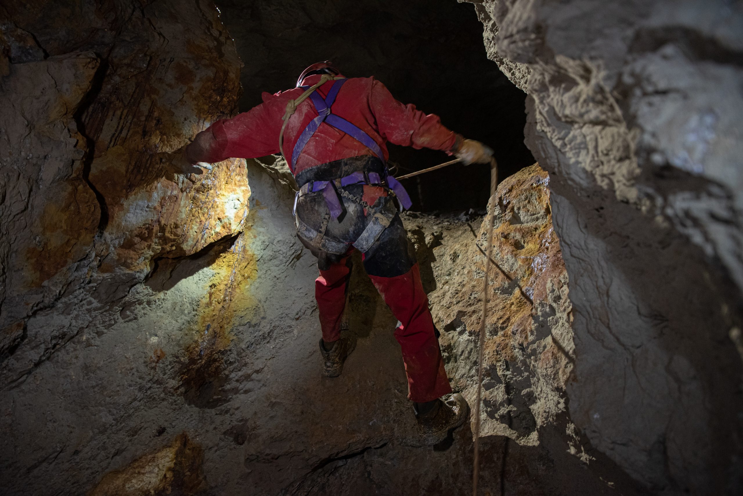
In fact, we will have to go up the “olive oil” chimney, where in the past we found the famous tin dating back exactly one hundred years earlier, as well as having to go down a short well.
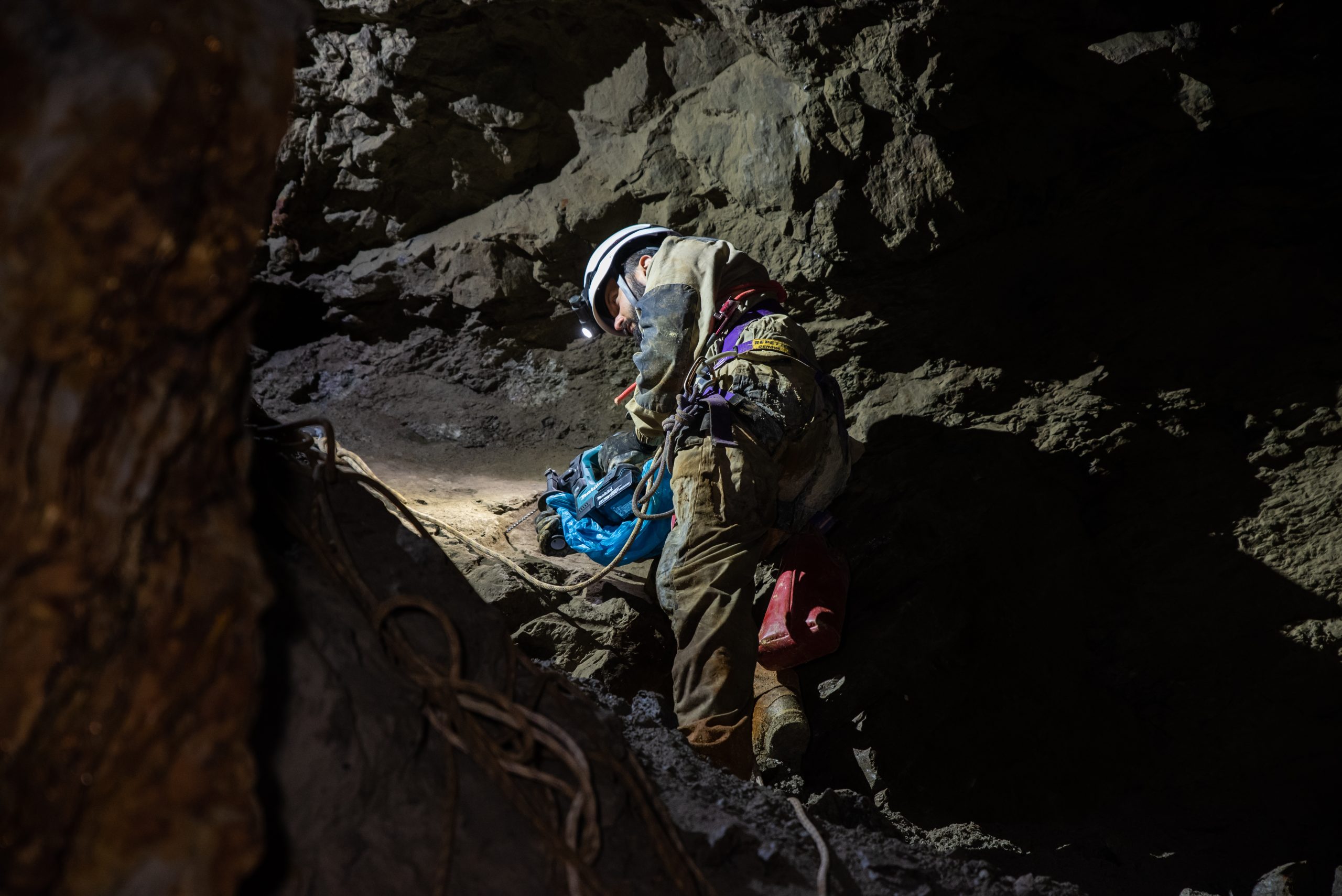
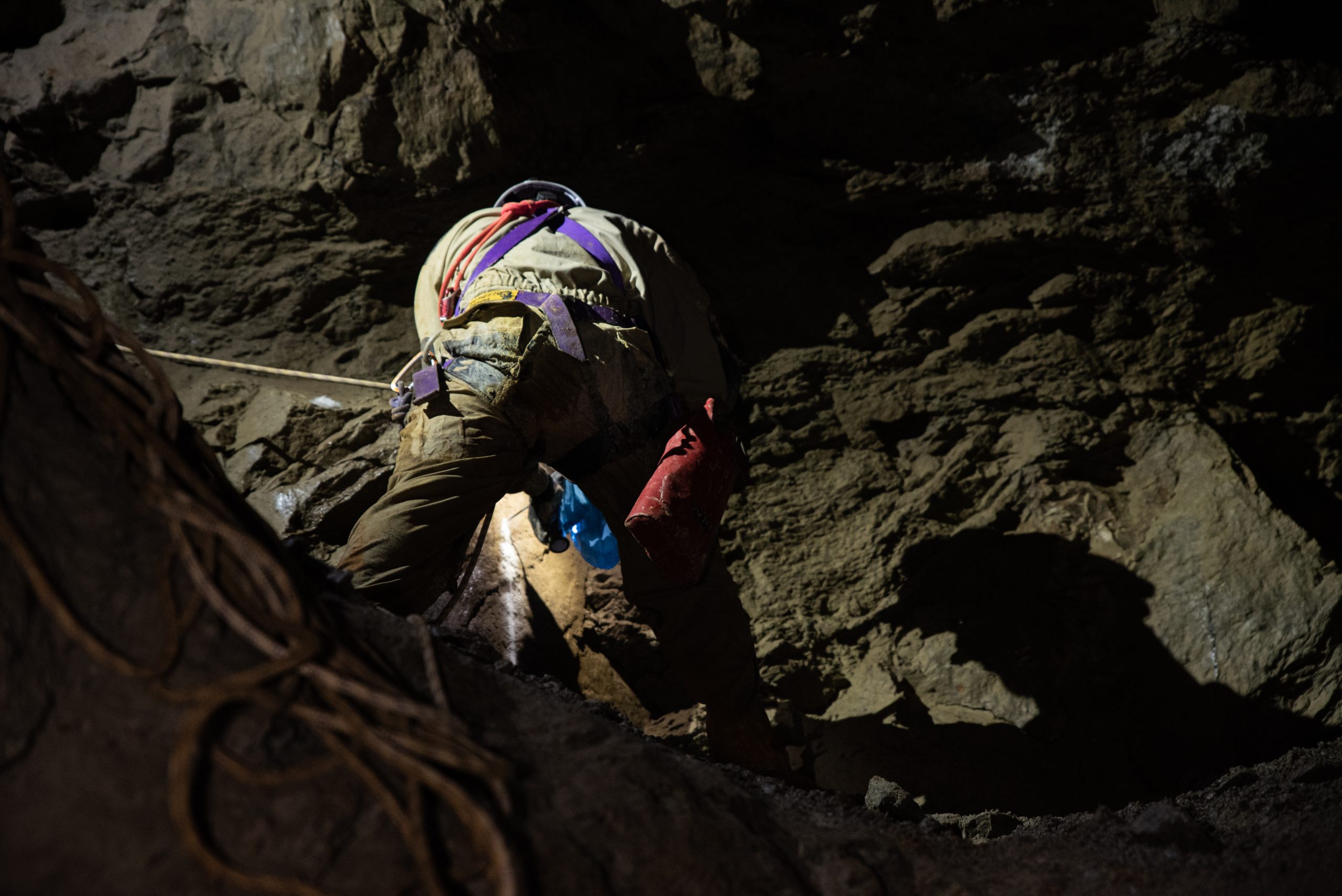
There is a lot of equipment and of course no detail can be left to chance.
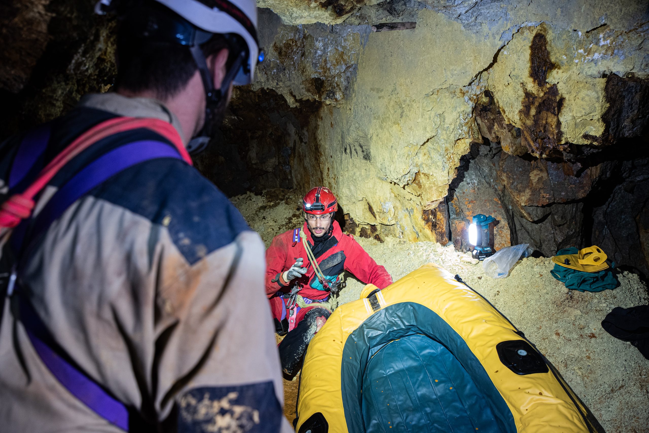
There will be 4 of us to carry on the mapping work Matteo Di Gioia, Davide Cabrino, Enrico G., and of course Federico M.
Everyone has his own task, so while Federico and I prepare the dinghy with the aim of crossing the blue hole, Davide and Enrico will take care of bringing the equipment needed to make anchors to the next level.
In total, 2 exits will be required to complete the work Below you can see the videos we made during the mapping operations, and the three-dimensional map of the entire mine.
The complete stories of our explorations are told in the photographic book “The gold mines of the Antrona Valley – Stories of speleology – Volume 1” which you can find for sale here on our website.
The book is an account of the outings and explorations in forgotten gold mines, which we painstakingly rediscovered, all documented by photographs and unpublished links to the videos of the explorations.
How to view the 3D Map
1 – Wait a few seconds for the map to load.
2 – Use the mouse wheel to zoom in or out.
3 – Use the left mouse button to translate the map and the right mouse button to rotate it.
Good vision!!
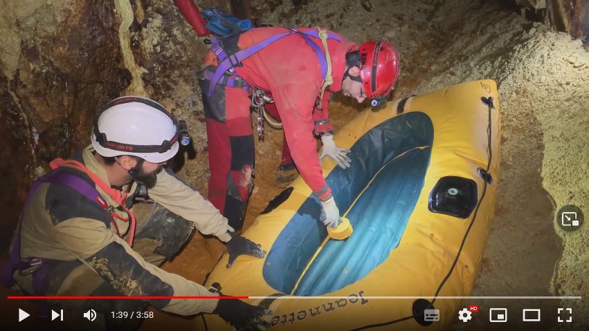
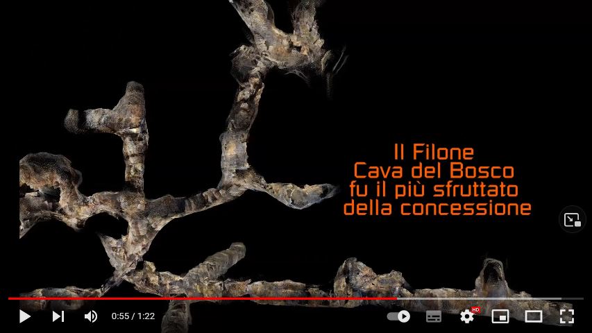


Photo Gallery